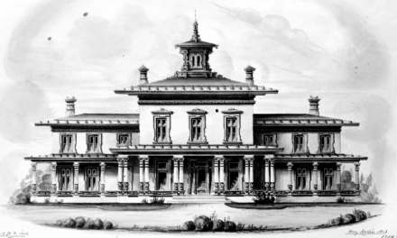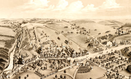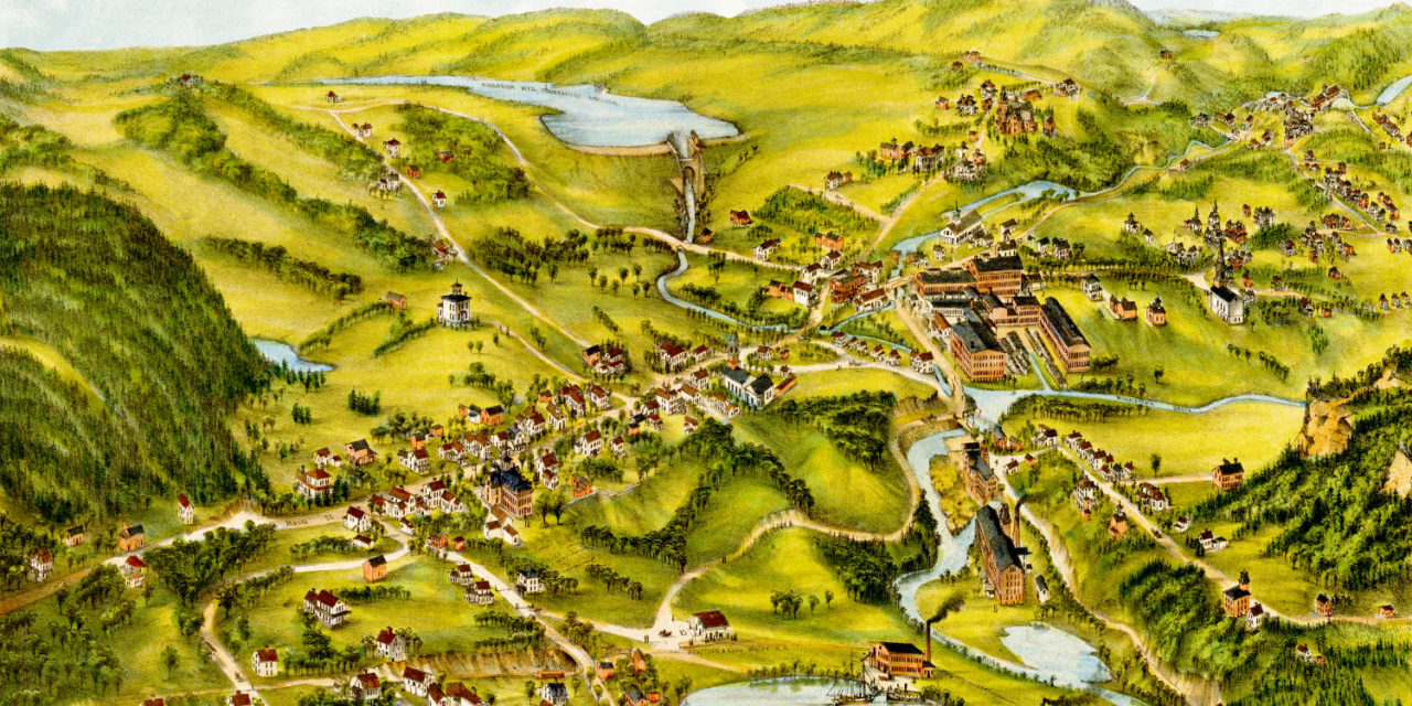
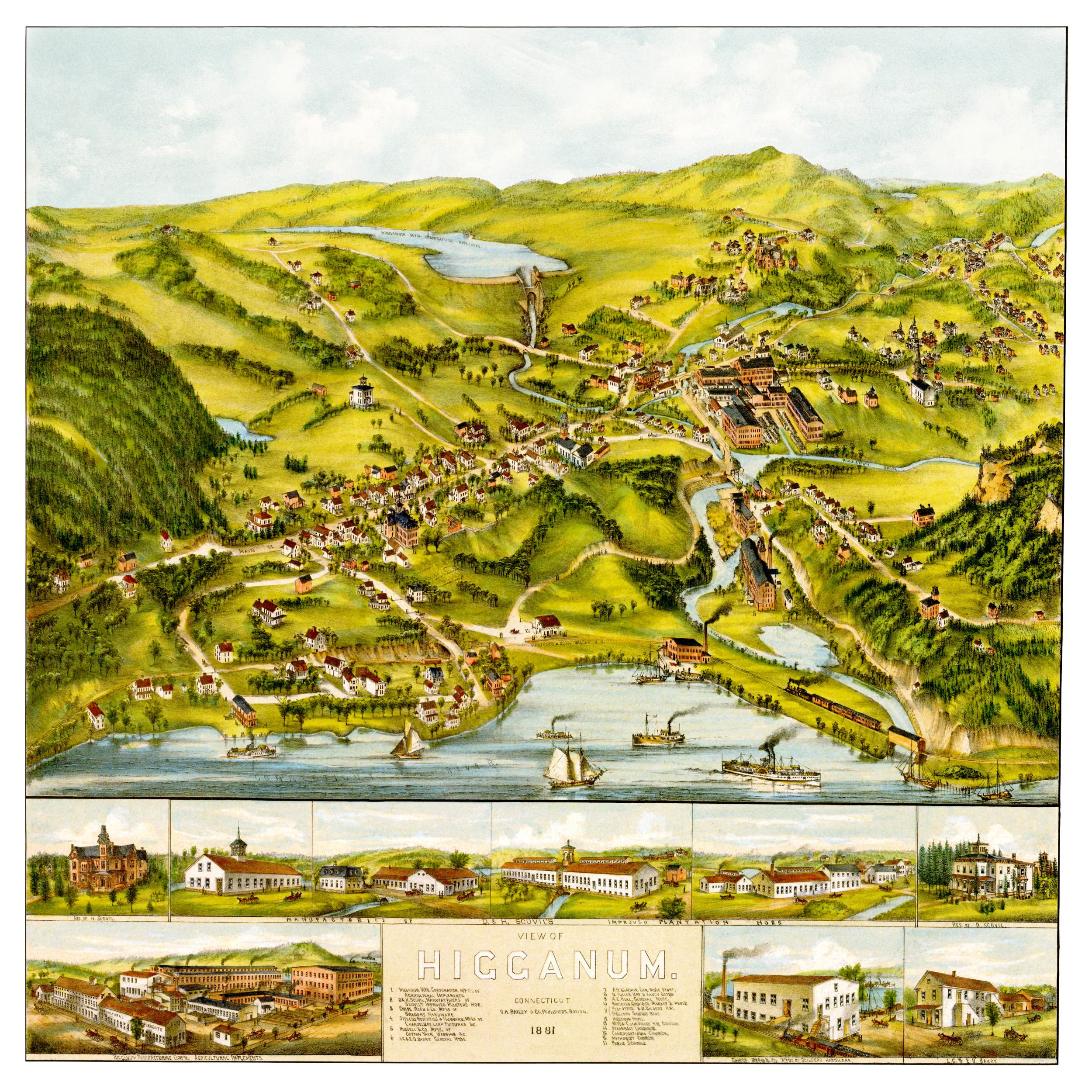
This old map of Higganum, Connecticut was published in 1881 by Oakley Hoops Bailey, one of the most prolific map publishers of the 19th century. O.H. Bailey spent a majority of his life traveling the country creating beautiful hand drawn maps of American towns.
The map shows a bird’s eye view of Higganum, CT as it looked at the end of the 19th century. Landmarks on the map include Higganum Steamboat Landing, Higganum Manufacturing, D&H Scovil Co. (Manufacturer of Scovil’s improved planter’s hoe), Higganum Hotel, Higganum Public School, and Higganum Savings Bank.
Click here to see Higganum, CT in 1881.
Reproductions of the restored map are available here.
This old map of Higganum has been lovingly restored by the team at KNOWOL. Reproductions of the restored map are available on museum quality, archival paper to ensure that this piece of Connecticut history can be passed on to the next generation. Click here to get a copy of the map.