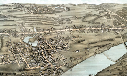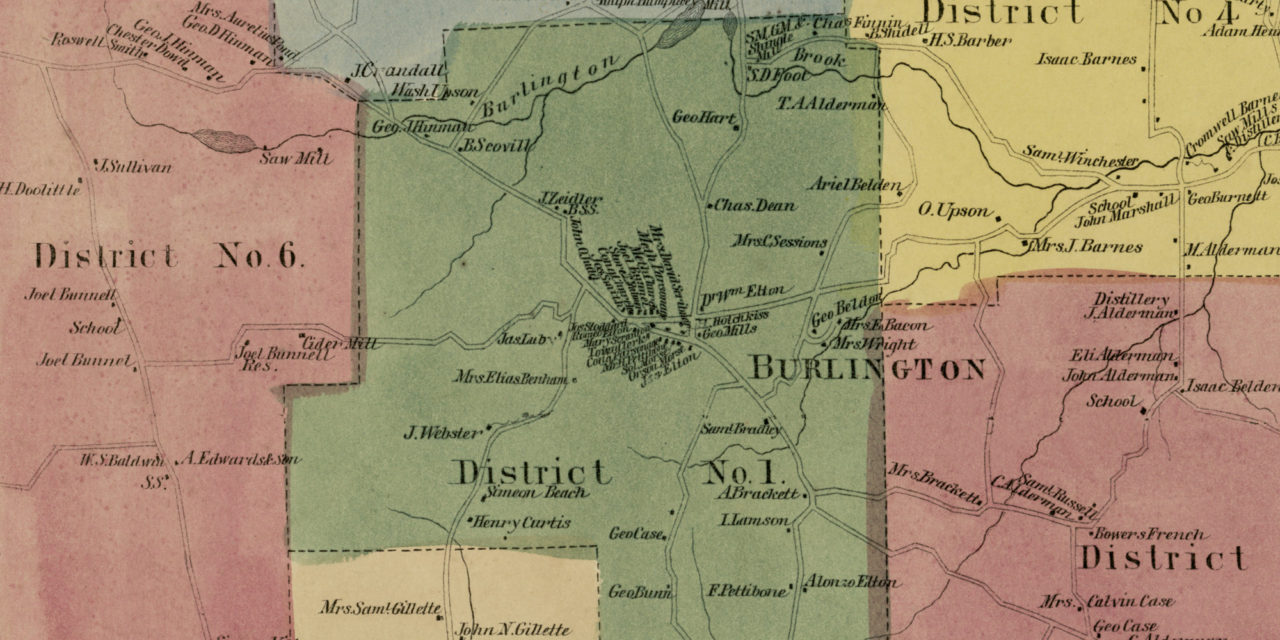
This historic landowners map of Burlington, Connecticut was created in 1869 by Baker & Tilden, cartographers from Hartford. Each plot of land is labeled with the name of the person who lived there at the time the map was created.
Landmarks on the map include Whigville Machine Shop, Saw Mill, Ford Hardware, Barnes Distillery, Phelps Brook, Alderman Distillery, Burlington Station, Burlington Brook, Shingle Mill, Cemeteries, Public Schools, and more.
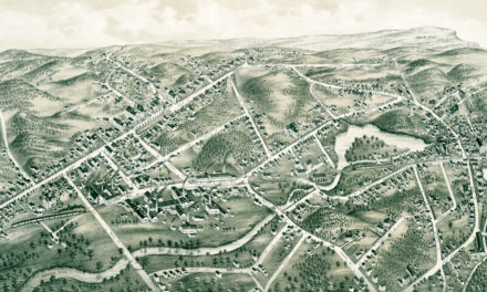
This historic map of Burlington was restored by KNOWOL. Reproductions of the restored map are available here.
Landowners Map of Burlington, CT from 1869
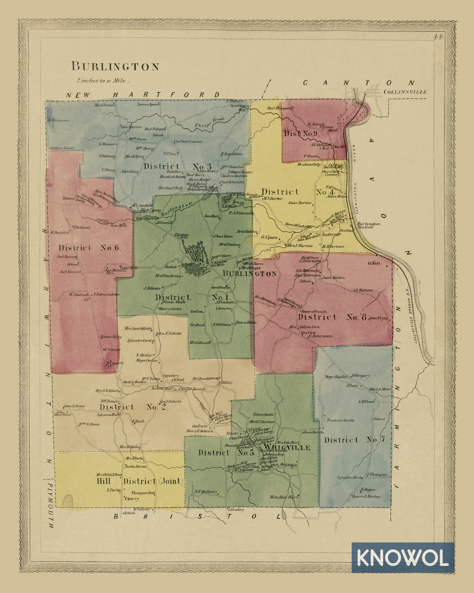
This old map of Burlington makes an attractive addition to your office, library, or den and can even be used to teach children the geography and history of the area. When you’re done exploring, click here to get your copy.