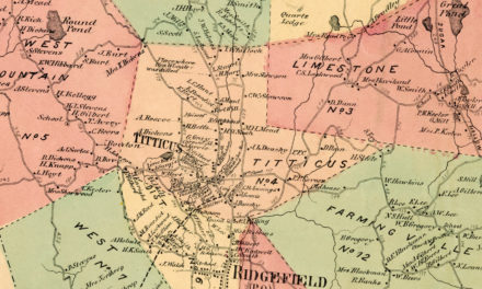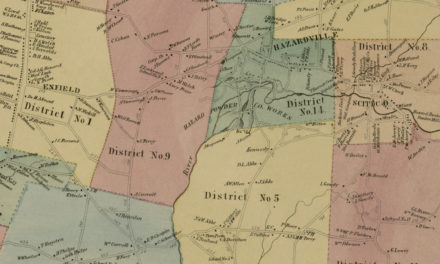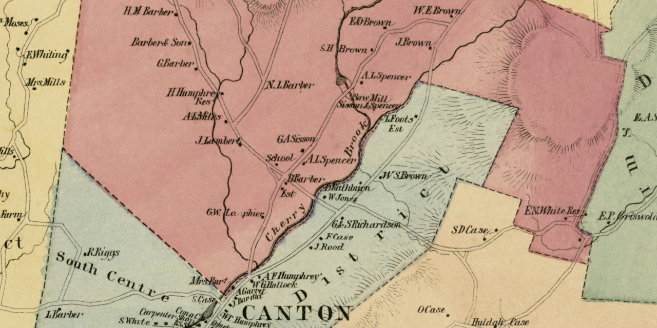
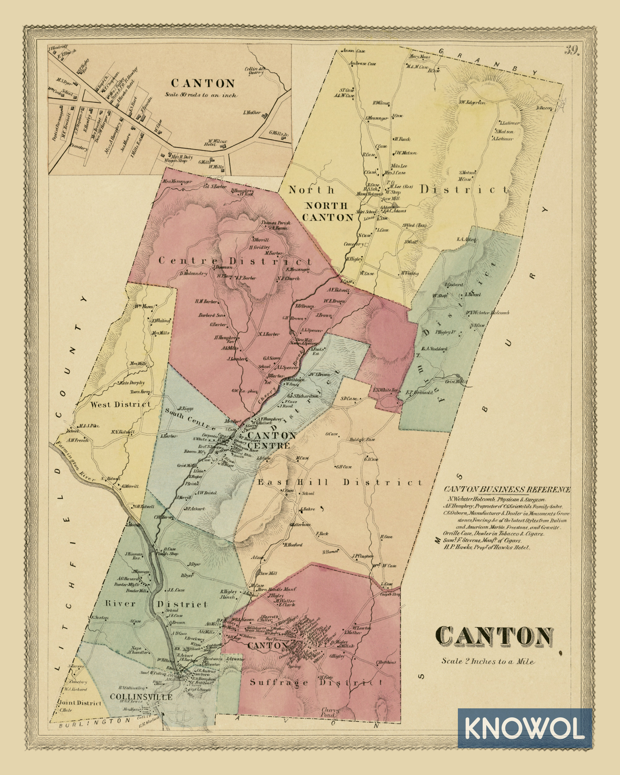
This old landowners map of Canton, Connecticut was created in 1869 by Baker & Tilden, cartographers from Hartford. The map features nine districts including the Suffrage District, River District, Joint District, and more.
Each plot of land is labeled with the name of the person who owned it at the time. Landmarks on the map include Hawks Hotel, Sisson & Spencer Saw Mill, Orville Case’s Tobacco & Cigars, Canton Conference House, and more.
This historic map of Canton was restored by KNOWOL. Reproductions of the restored map are available here.
Landowners Map of Canton, CT from 1869
This vintage map of Canton makes an attractive addition to your office, library, or den and can even be used to teach children the geography and history of the area. When you’re done exploring, click here to get your copy.