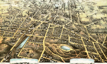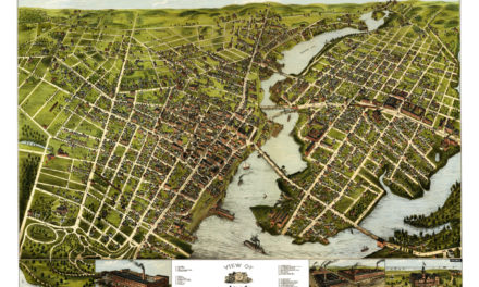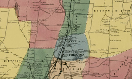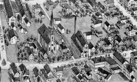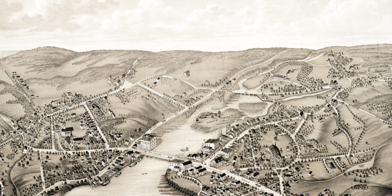
This beautiful hand drawn map of Westport, Connecticut was created in 1878 by O.H. Bailey, a prominent 19th century cartographer. The map shows a bird’s eye view of Westport as it was, including street names and old landmarks.
Westport landmarks on the map include Saugatuck Bay, Gorham Island, Westport Hotel, Belden’s Block, Nash’s Saw and Planing Mill, River Side Institute for Ladies, D.L. Staples Dry Goods, Hawkes Harness Maker, Kemper Meat Market, Sturges Boots & Shoes, and the Office of the “Westporter”, a local newspaper.
This historic map of Westport, CT has been restored by KNOWOL. Reproductions of the map are available here.
Bird’s Eye View of Westport, Connecticut in 1878
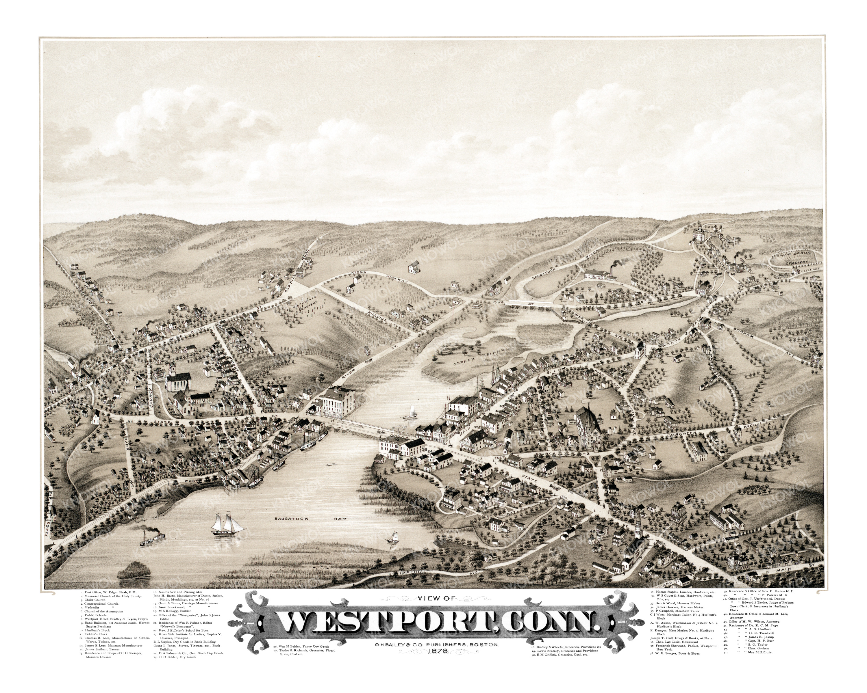
This historic map of Westport, CT will make an attractive addition to your office, library, or den and can even be used to teach children the geography and history of the area. When you’re done exploring, click here to get yours.