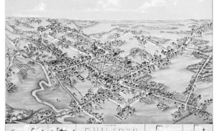
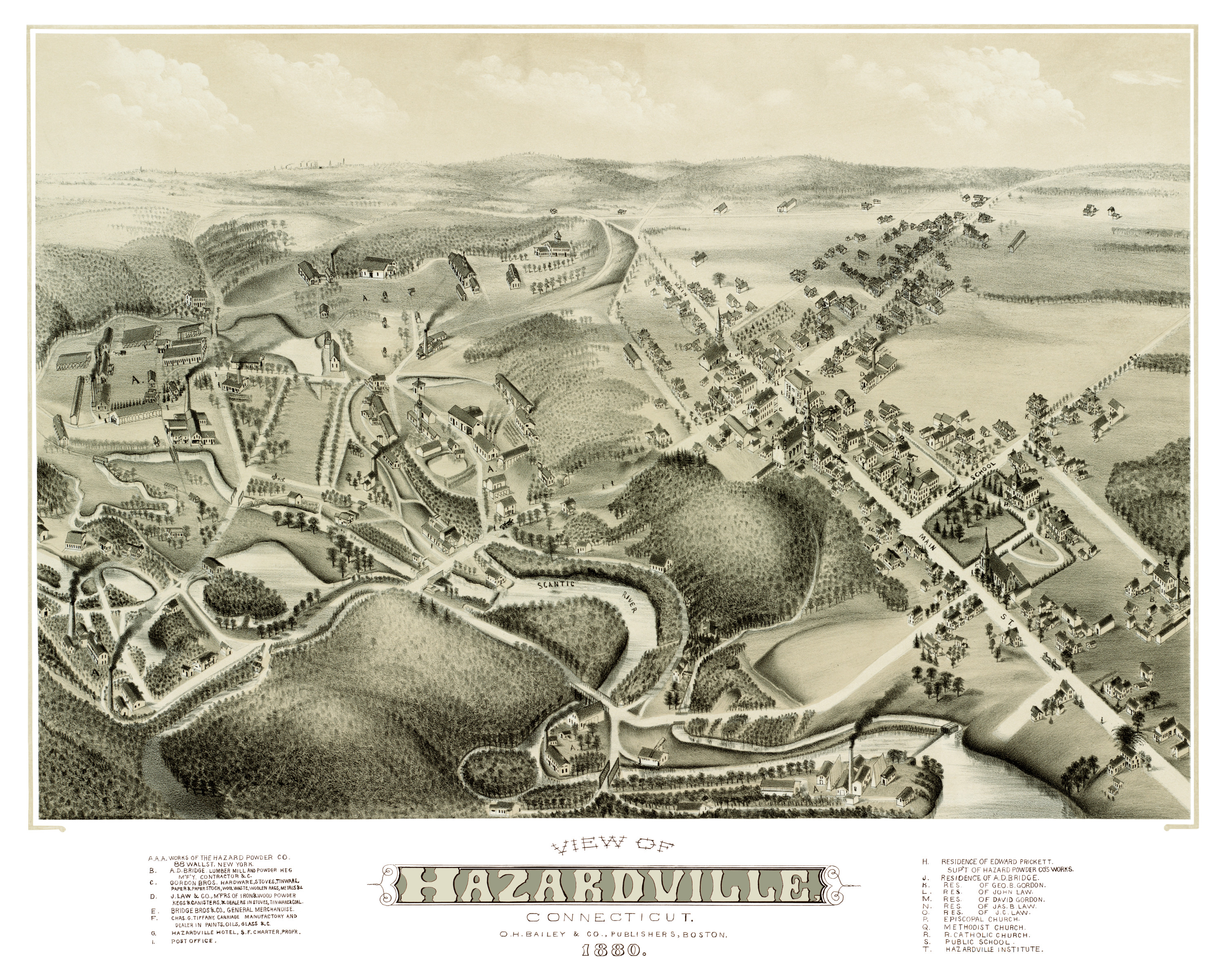
This old map of Hazardville, Connecticut was published in 1880 by Oakley Hoops Bailey, one of the most prolific map publishers of the 19th century. O.H. Bailey spent a majority of his life traveling the country creating beautiful hand drawn maps of American towns.
Hazardville is a section of the town of Enfield, Connecticut that originated as an industrial village centered around the manufacture of gunpowder using water power from the Scantic River. The first black powder mill was established in 1835 in an area then known as Powder Hollow, which later became the Hazard Powder Company.
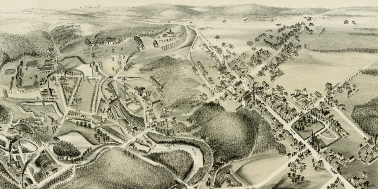
The map shows a bird’s eye view of Hazardville, CT as it looked at the end of the 19th century. Enfield landmarks on the map include The Hazard Powder Company, Gordon Brothers Hardware, Hazardville Hotel, Hazardville Institute, and Episcopal, Methodist and Roman Catholic Churches.
Click here to see Hazardville, Connecticut in 1880.
Reproductions of the restored map are available here.
This old map of Hazardville has been lovingly restored by the team at KNOWOL. Reproductions of the restored map are available on museum quality, archival paper to ensure that this piece of Enfield history can be passed on to the next generation. Click here to get a copy of the map.