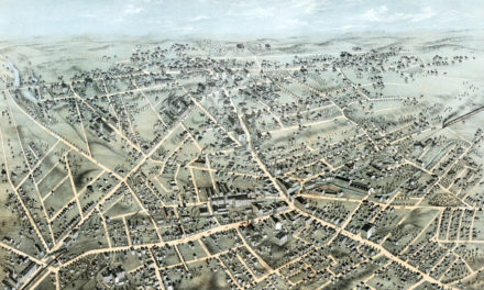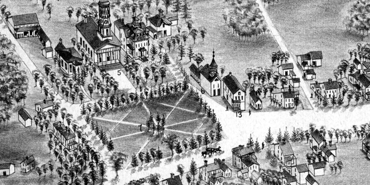
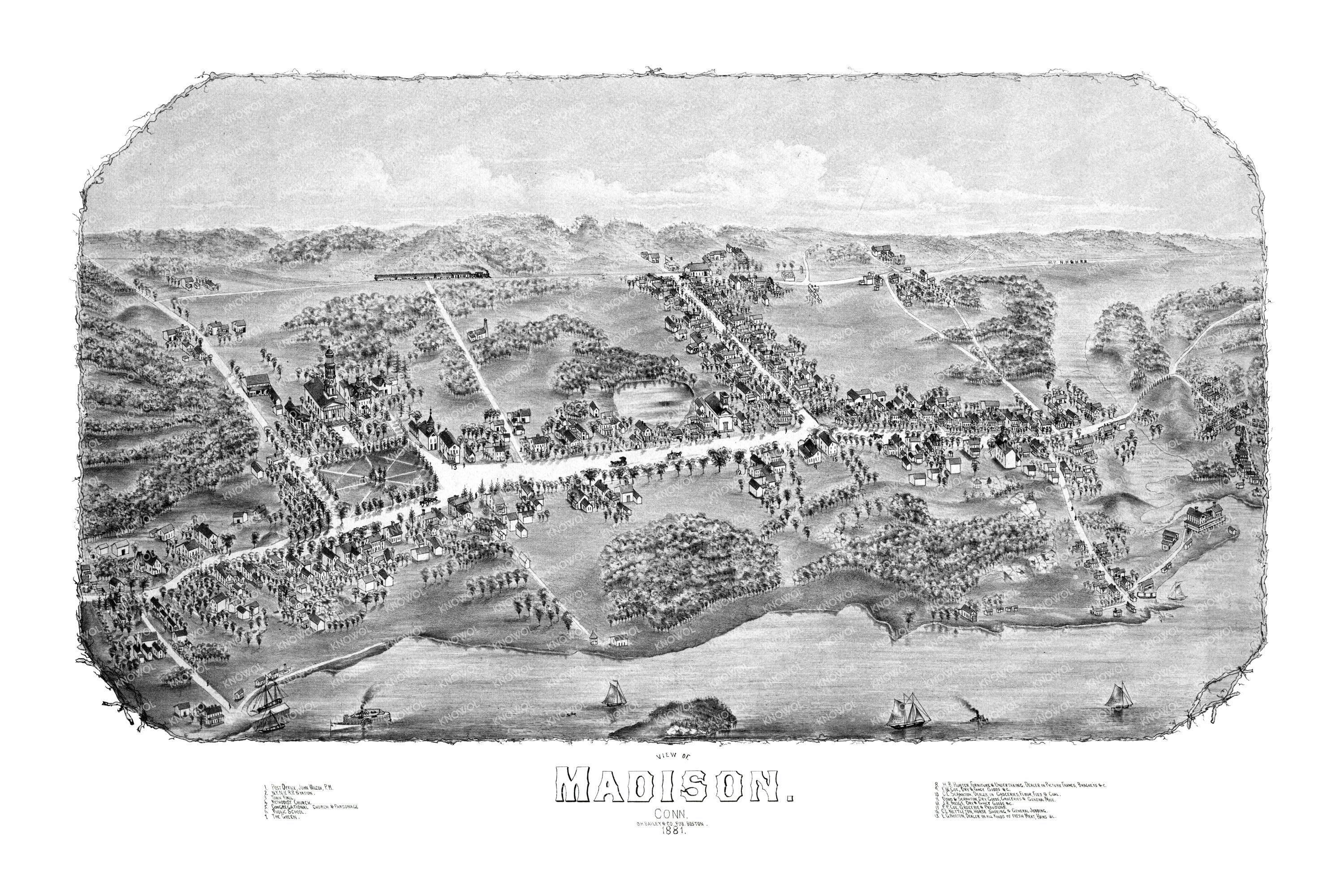
This historic map of Madison, Connecticut was created in 1881 by O.H. Bailey, a prominent 19th century map maker. The map shows a bird’s eye view of the town as it used to be, including street names and old landmarks.
Landmarks on the map include The Green, E.G. Norton, Dealer in all kinds of fresh meat, Nettleton Horse Shoeing, Coe Groceries & Provisions, Meigs Dry & Fancy Goods, Scranton Groceries, Hunter Furniture & Undertaking, Public Schools, New York & New Haven Railroad Station, and more.
This historic map of Madison was restored by KNOWOL. Reproductions of the restored map are available here.
Bird’s Eye View of Madison, Connecticut in 1881
This old map of Madison makes an attractive addition to your office, library, or den and can even be used to teach children the geography and history of the area. When you’re done exploring, click here to get your copy.