
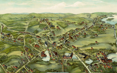
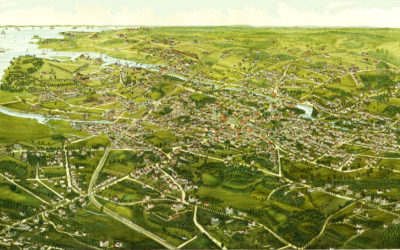
Restored bird’s eye view of East Hampton, Connecticut from 1880
This old map shows East Hampton, Connecticut in the late 19th century.
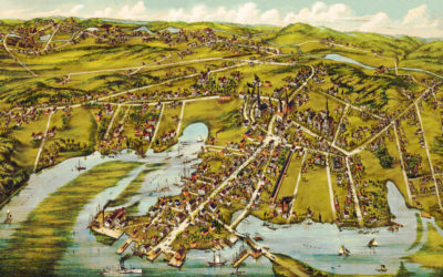
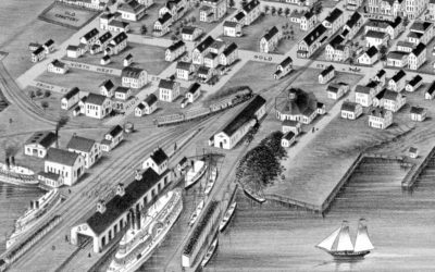
Beautiful bird’s eye view of Essex, Connecticut in 1881
This old map shows a bird’s eye view of Essex, Connecticut in the late 19th century.
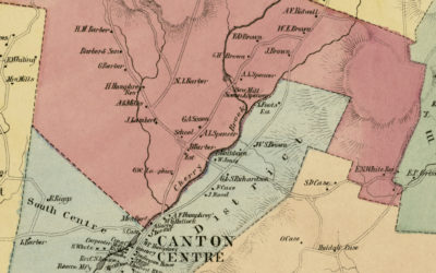
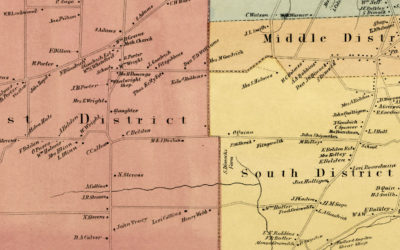
Beautifully restored map of Canton, CT from 1869
Vintage landowners map of Canton, Connecticut as it used to be
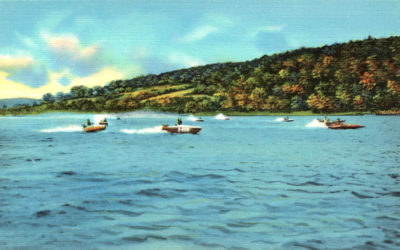
11 vintages images reveal the beauty of Connecticut’s Candlewood Lake
Candlewood Lake is a manmade lake located in Connecticut that is is bordered by five towns: Brookfield, Danbury, New Fairfield, New Milford, and Sherman. The following images show Candlewood Lake as it looked in the 1940's and 1950's. Bathing beaches at Candlewood...
Beautifully restored map of Rocky Hill, CT from 1869
Vintage landowners map of Rocky Hill, Connecticut as it used to be
Beautiful hand drawn map of Stamford, Connecticut in 1883
Click here to see what Stamford looked like 100+ years ago.
Beautifully restored map of Stonington, Connecticut from 1879
Historic bird’s eye view of Stonington, Connecticut as it used to be
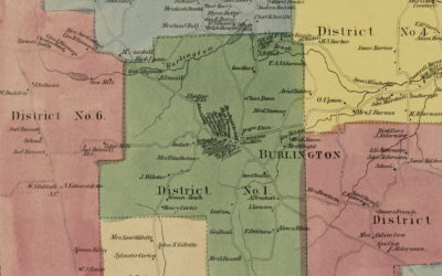
Historic landowners map of Burlington, CT from 1869
Vintage landowners map of Burlington, Connecticut as it used to be
Beautifully restored map of Naugatuck, Connecticut from 1877
Historic bird’s eye view of Naugatuck, Connecticut from 1877
Beautifully restored map of Cheshire, Connecticut from 1882
Detailed bird’s eye view of Cheshire, Connecticut as it used to be
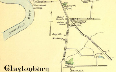
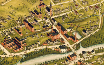
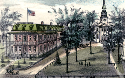
Glastonbury, Rocky Hill, Enfield & Collinsville, CT in 1893
This map shows Glastonbury, Rocky Hill, Enfield & Collinsville, Connecticut as they looked in 1893. The hand colored map was originally printed as a lithograph by D.H. Hurd & Company in Boston, Massachusetts, and was part of a series depicting prominent...
Beautifully restored map of Thompsonville, CT from 1878
This old map shows Thompsonville, Connecticut as it looked in 1878.