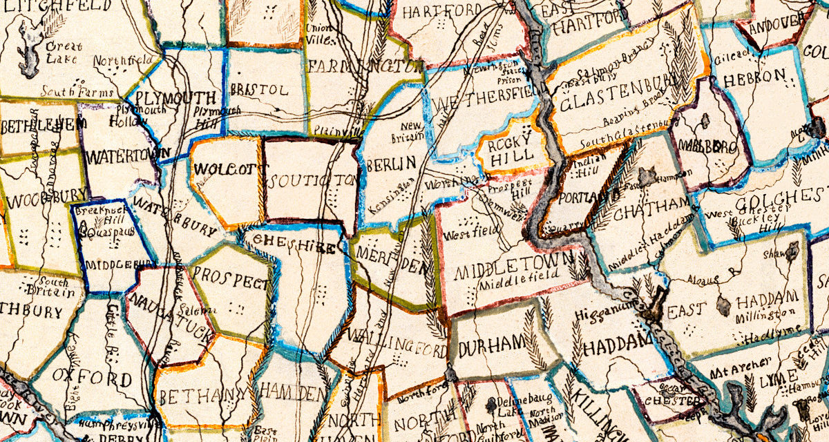
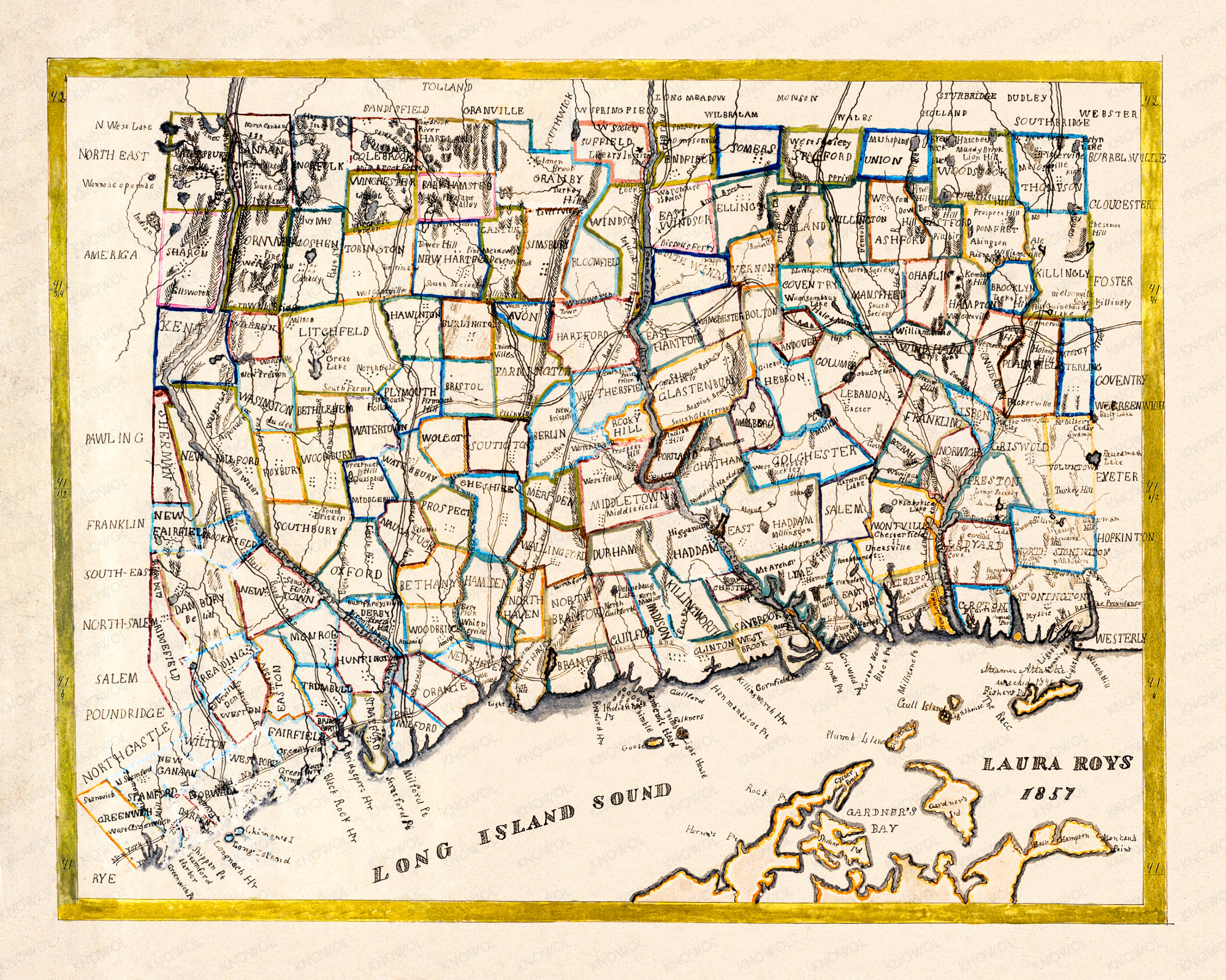
This historic map of Connecticut was created in 1857 by Laura Roys, a student at Hartford Female Seminary, one of the first major educational institutions for women in the United States. The borders of each town are highlighted using colorful shades of orange, red, pink, blue, green, yellow, purple, violet and gold.
In addition to showing the border of Connecticut’s towns and cities, the map also includes illustrations of local landmarks and geological features such as rivers, mountains, lakes, and islands.
This historic map of Connecticut was restored by KNOWOL. Reproductions of the restored map are available here. You can view the full map by clicking on the image below. Numbers in the map’s border identify the state’s latitudinal coordinates.
Historic Map of Connecticut from 1857
This map of Connecticut makes an attractive addition to your office, library, or den, and can even be used to teach children the geography and history of the area. When you’re done exploring, click here to get your copy of the restored map.