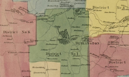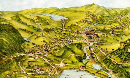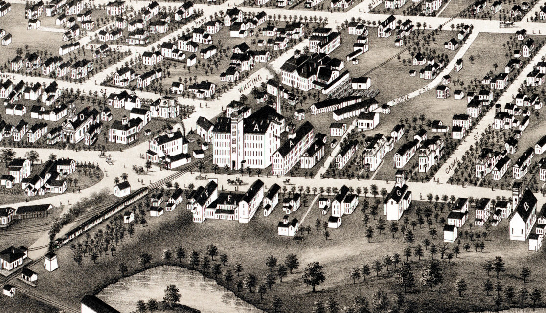
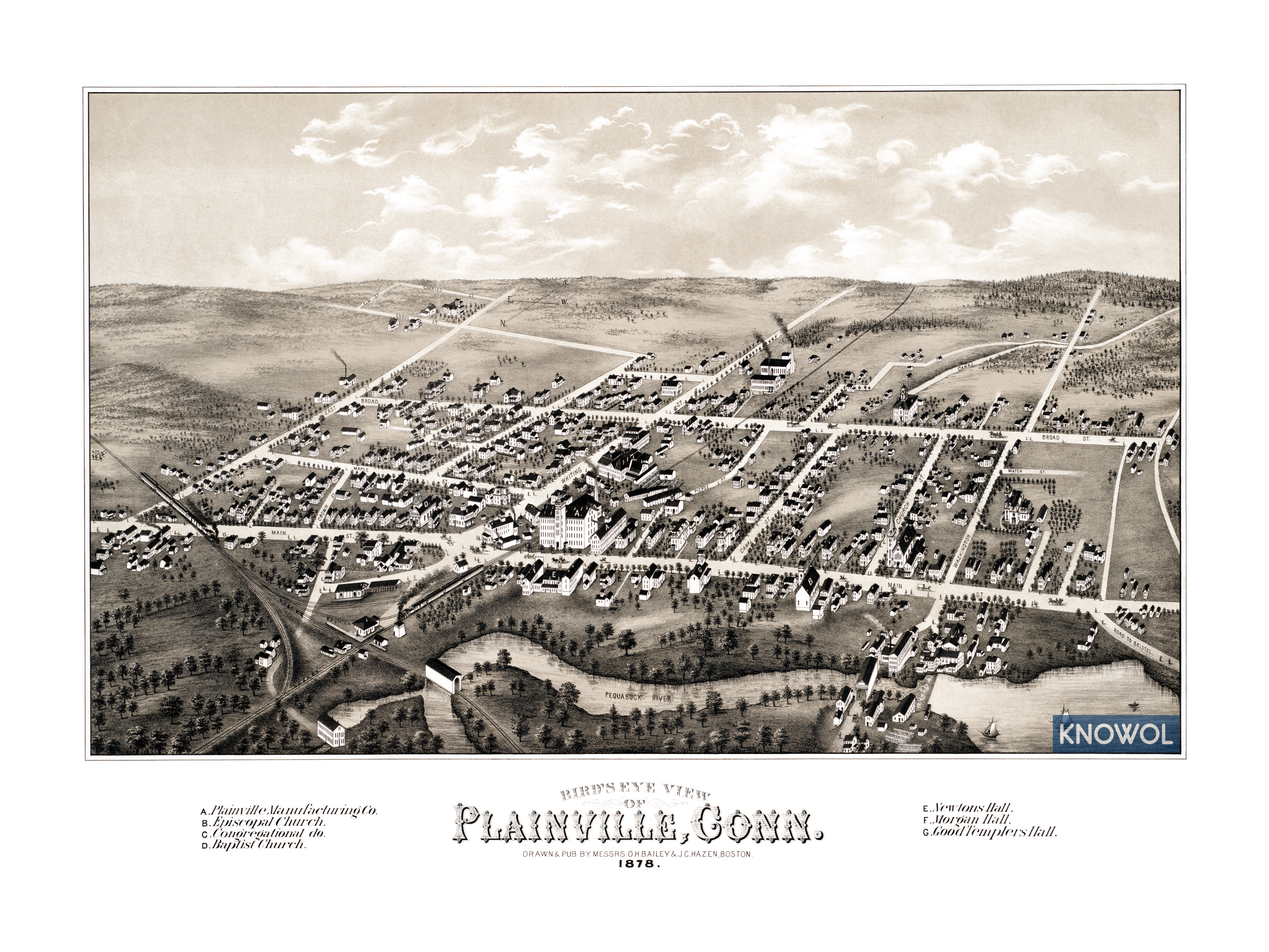
This historic map of Plainville, Connecticut was created in 1878 by O.H. Bailey & J.C. Hazen, a prominent duo of 19th century cartographers. The map shows a bird’s eye view of Plainville as it used to be, including street names and old landmarks.
Landmarks on the map include Plainville Manufacturing Company, Newton’s Hall, Morgan Hall, Good Templers Hall, The Hartford, Providence and Fishkill Railroad (HP&F), and Episcopal, Congregational, and Baptist Churches.
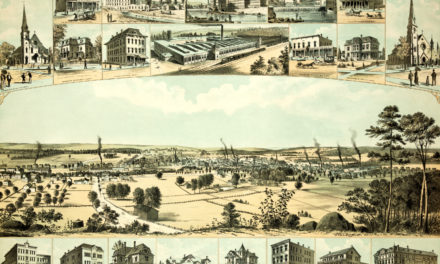
This historic map of Plainville was restored by KNOWOL. Reproductions of the restored map are available here.
Bird’s Eye View of Plainville, Connecticut in 1878
This old map of Plainville makes an attractive addition to your office, library, or den and can even be used to teach children the geography and history of the area. When you’re done exploring, click here to get your copy.