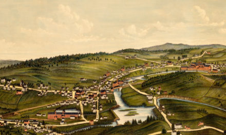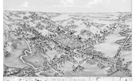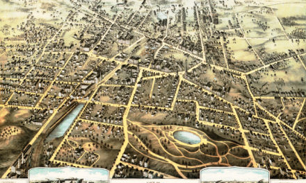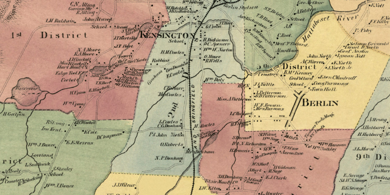
This historic landowners map of Berlin, Connecticut was created in 1869 by Baker & Tilden, cartographers from Hartford. The map features nine districts and business reference guides for Berlin, Kensington, and East Berlin.
Each plot of land is labeled with the name of the person who lived there at the time. Berlin landmarks on the map include Skuttle Meadow Pond, Dudley’s Grist Mill, American Corrugated Iron Company, Hartford & Springfield Railroad, Lamentation Mountain, Blair Manufacturing, and more.
This historic map of Berlin was restored by KNOWOL. Reproductions of the restored map are available here.
Landowners Map of Berlin, CT from 1869
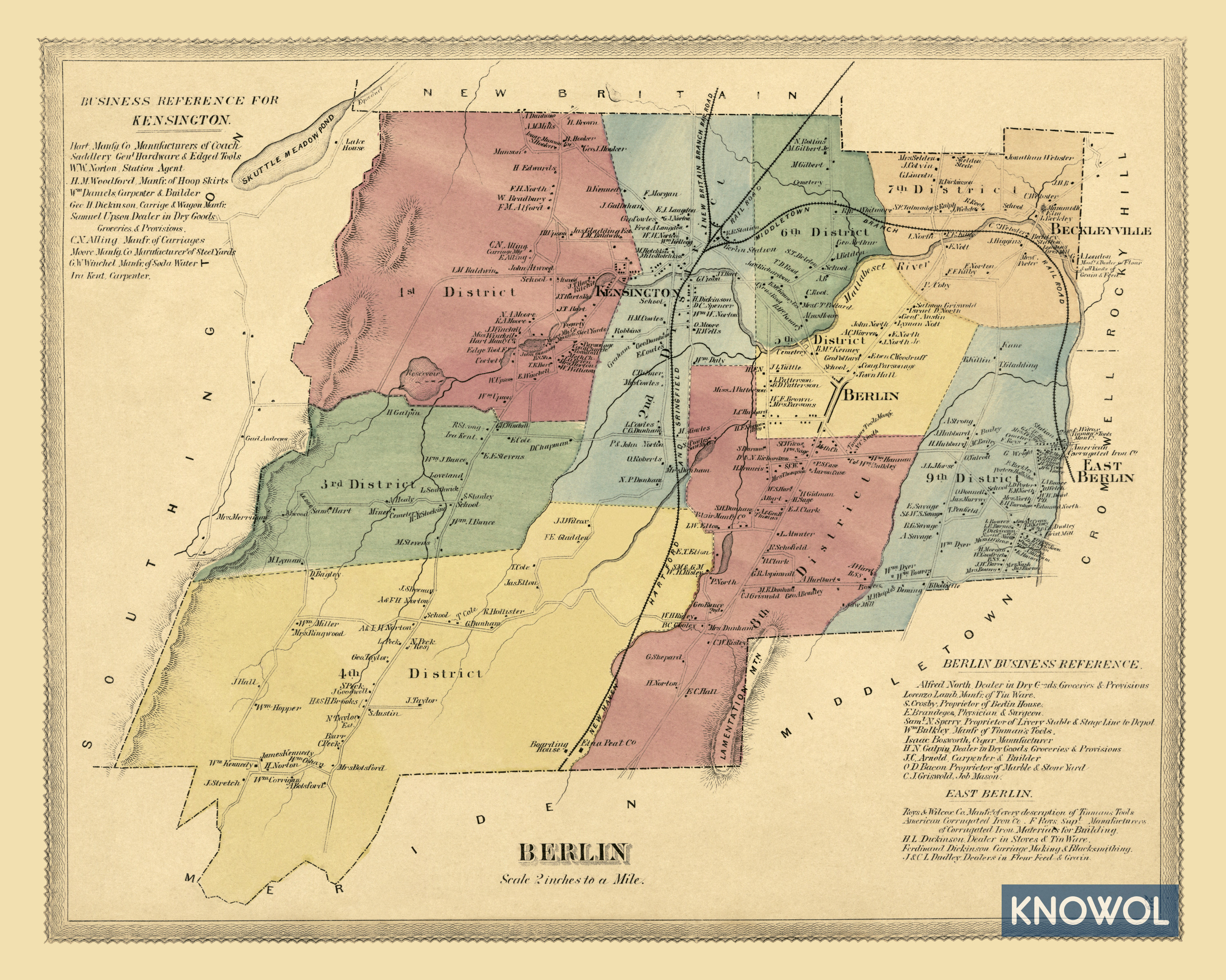
This vintage map of Berlin makes an attractive addition to your office, library, or den and can even be used to teach children the geography and history of the area. When you’re done exploring, click here to get your copy.