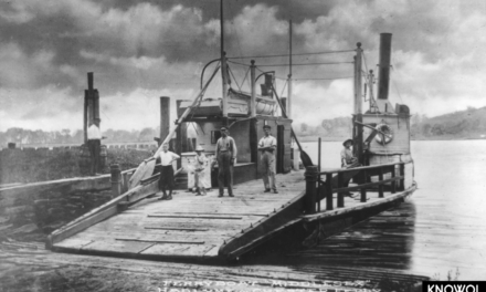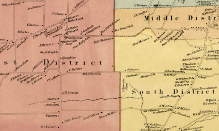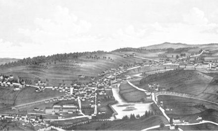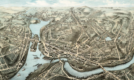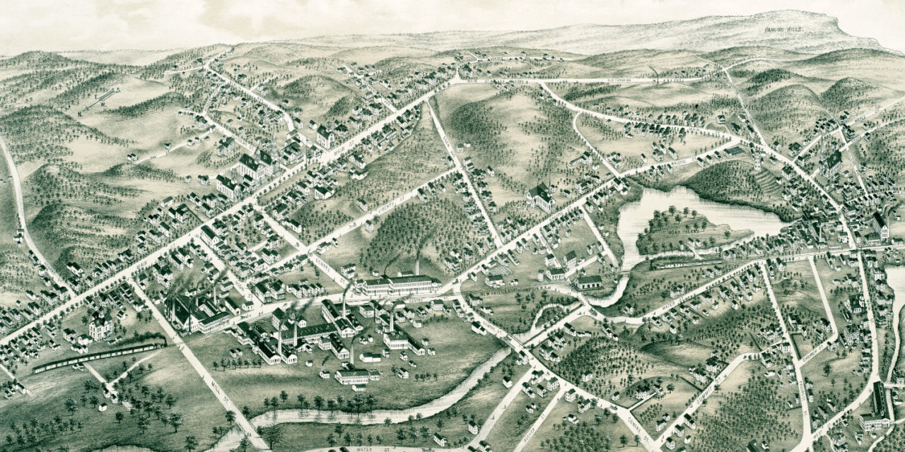
This map of Southington, Connecticut was created in 1878 by J.C. Hazen, a prominent 19th century map maker. The map shows a bird’s eye view of Southington as it used to be, including street names and historic landmarks.
Landmarks on the map include Southington High School, Lewis Academy, First Baptist Church, Southington Cutlery, Aetna Nut Company, Savage’s Carriages, Goat Island, The Hanging Hills and more.
This historic map of Southington has been restored by KNOWOL. Reproductions of the map are available here.
Map of Southington, Connecticut in 1878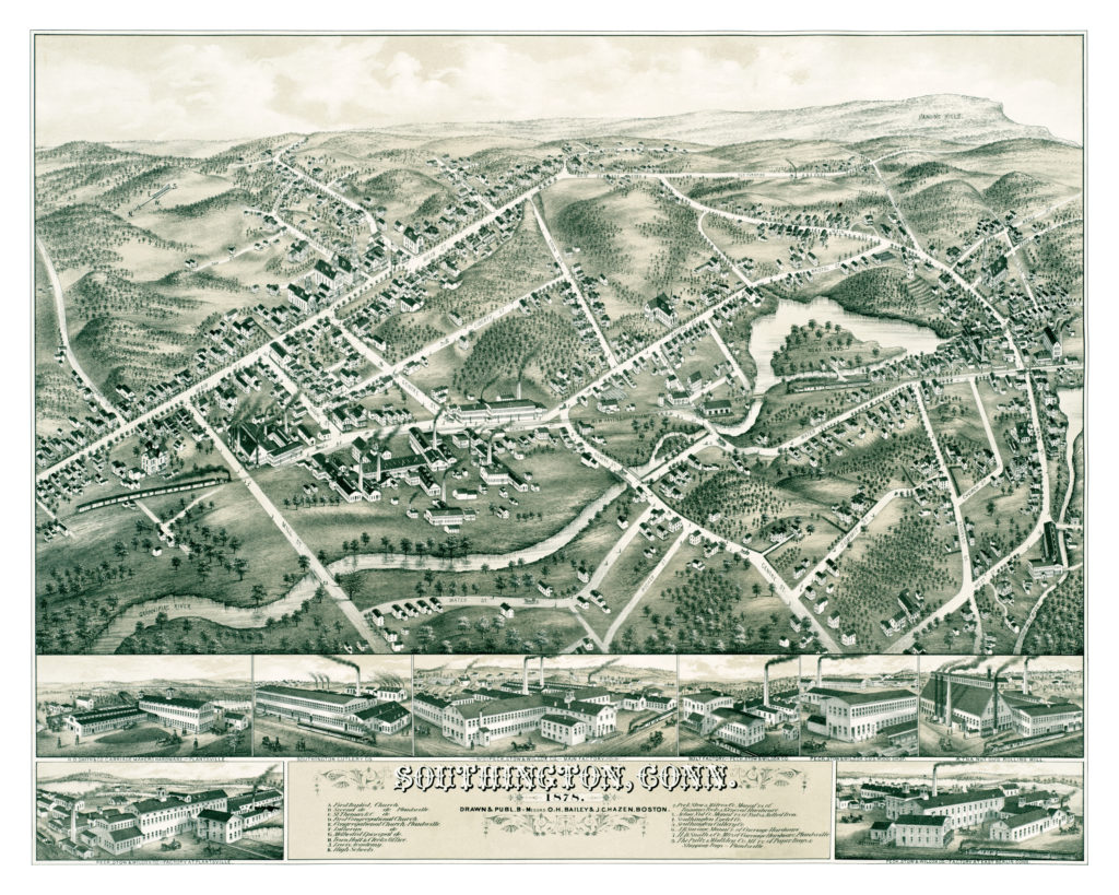
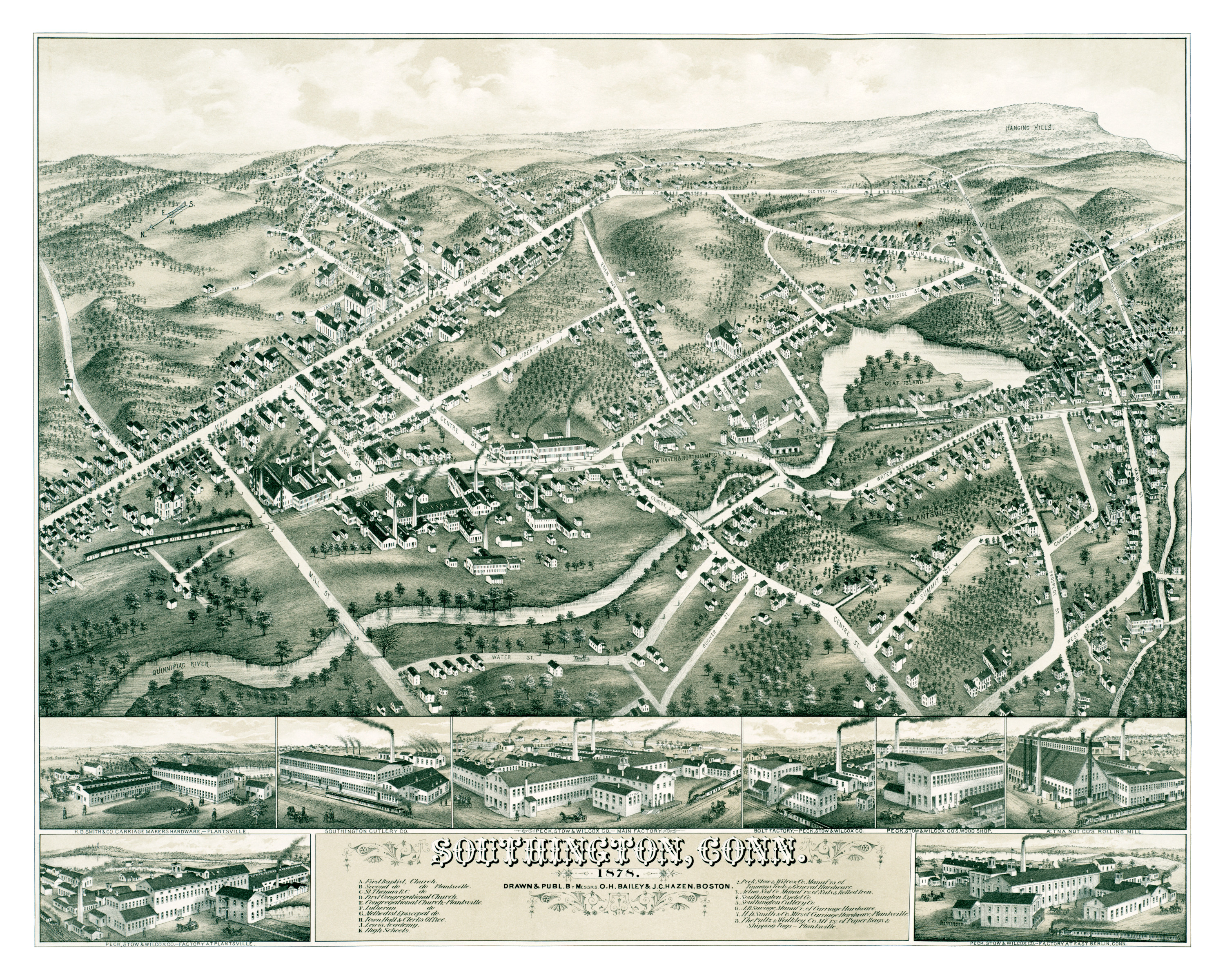
This map of Southington will make an attractive addition to your office, library, or den, and can even be used to teach children the geography and history of their town. When you’re done exploring, click here to get your copy.